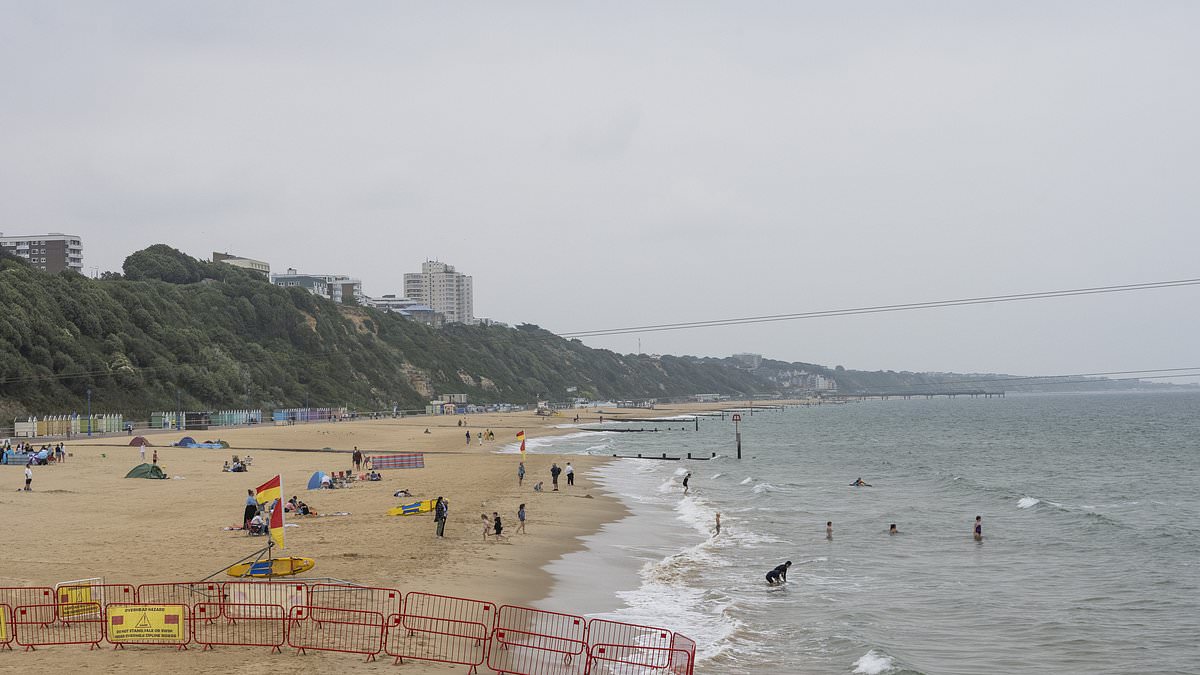
Beachgoers were faced with a dull, overcast day today in a stark contrast to the hottest day of the year seven days ago as Brits see the last of summer.
But that hasn’t deterred a handful of locals who were snapped wading in the chilly sea and setting up on the sand in Bournemouth, Dorset, despite the grey skies.
According to the Met Office, today is ‘wet and windy’ with some heavy rain in places which will continue throughout the night and into tomorrow.
Yellow weather warnings for rain in the north of England and Scotland are in place for today, Wednesday and Thursday.
This may be the end of scorching temperatures as autumn approaches, a far cry from the sunny scenes this time last week which reached 33.9C (93.0F) in Cambridge.broken at 1pm at Wisley in Surrey with 32.4C (90.3F).
Over the next few days, Western Scotland will see the largest rainfall during Wednesday and Thursday, with up to 150 mm possible over the mountains.
A yellow weather warning is in place from 2pm until midnight tonight for Cumbria, where people should expect some flooding and travel disruption.
Weather warnings are in place for Scotland from 9am on Wednesday to 3pm on Thursday.
The ‘remnants’ of Hurricane Ernesto are set to batter parts of the UK in the week ahead, bringing heavy rain and wind gusts of up to 60mph.
Ernesto ripped through the North Atlantic this week, with maximum winds of 85mph leaving hundreds of thousands of people in Puerto Rico and Bermuda without power.
The Met Office said there could be delays to public transport, spray and flooding on roads, as well as potential power cuts and flooding in homes and businesses.
There is also a small chance that the spring tide will generate large waves that could result in injuries and a danger to life in coastal areas on Wednesday and Thursday, the weather service added.
Met Office forecaster Craig Snell said: ‘Ernesto, at the moment, is still out on the other side of the Atlantic as a tropical storm.
‘As we go through the next couple of days, it kind of weakens as it moves into cooler waters and gets absorbed into a more typical area of low pressure, which we kind of get quite often.’
He continued: ‘Because the tropical systems just have so much warmth and a lot of moisture in them, remnants of the warmth and remnants of the moisture will be still there in that weather system on Wednesday and Thursday, so it will enhance the rainfall. ‘
Ernesto is the fifth named storm and the third hurricane of the Atlantic hurricane season.
Wet and windy weather is not ‘unusual’ for August, Mr Snell added.
In contrast, the highest temperature recorded by 2pm a week ago was 33.9C (93.0F) in Cambridge, after the 2024 record was broken at 1pm at Wisley in Surrey with 32.4C (90.3F).
The day’s high also exceeded the highest temperature recorded in the UK last year which was 33.5C (92.3F) at Faversham in Kent on September 10, 2023.
The UK was hotter last Monday than Ibiza and Faro (both 29C), Malta (31C) and even Dakhla in Western Sahara (28C).