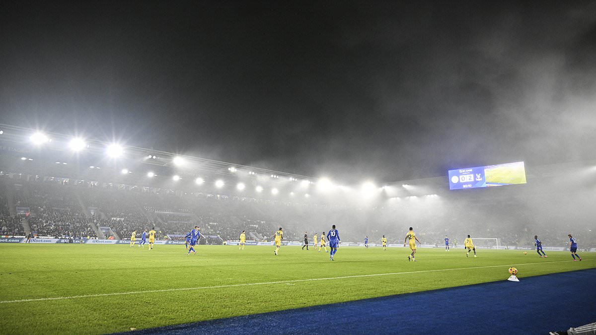
A yellow fog alert has been issued, with the Met Office warning that the conditions may lead to travel disruptions, including flight delays and cancellations.
The weather warning is in place until 11am on Thursday and affects large areas of England, stretching from Exeter to Oxford, Birmingham, Peterborough, and York, as well as parts of Wales.
The fog is expected to create difficult driving conditions, potentially slowing journey times, causing delays to bus and train services, and disrupting flights, according to the Met Office.
During Christmas, some of the UK’s busiest airports, including Heathrow, Luton, and Manchester, experienced significant disruption due to thick fog.
Earlier this month, snow, ice, and strong winds caused further disruptions, with runway closures or delays affecting operations at Manchester, Birmingham, and Bristol airports.
Met Office meteorologist Clare Nasir said: ‘The issue will be over the next few days, fog, as well as some pockets of frost as well where we see clearer skies.
‘In fact, that’s how we see this evening and overnight, stubborn cloud anywhere from the Midlands, East Anglia down towards the South East. A lot of cloud across the north west of Scotland, with some outbreaks of rain in between, some clearer skies.
‘Now, a few things happen through this evening and into Thursday. The cloud increases across Northern Ireland, you’ve seen some lovely sunshine today, more cloud through tomorrow.
‘Elsewhere with those clearer skies, we’ll see probably some pockets of frost, so temperatures dipping close to freezing, if not below, and again, with a lighter breeze, fog will re-form anywhere from central and southern parts of England and Wales down towards the west country.
‘First thing then tomorrow morning, the fog, yet again, could be slow to clear.
‘A cold start across Wales, Northern England, southern Scotland. More cloud to begin Thursday across Northern Ireland, the central belt of Scotland, towards the north west.’
The Met Office warned travellers to check road conditions before driving, leave extra journey time, and amending plans if necessary.
It added: ‘Areas of fog will continue to develop through Wednesday evening and overnight and, in places, will be dense with visibility below 100 metres.
‘Some of the fog will tend to thin and lift into low cloud across parts of southern England and the southeast Midlands by dawn, but is likely to persist in a corridor from southwest England through the rest of the Midlands to Lincolnshire and Yorkshire until late morning.’
Much of the UK endured sub-freezing temperatures last weekend, dropping to -11.2C (11.8F) at Shap in Cumbria while Bala in Wales recording -6.7C (19.9F).
The UK Health Security Agency had a cold weather health alert in place for all of England during what became a prolonged chilly spell at the start of the year.
But the sudden change in conditions this week has resulted in a 34.6C (62.3F) swing in temperatures in just three days in northern Scotland.
