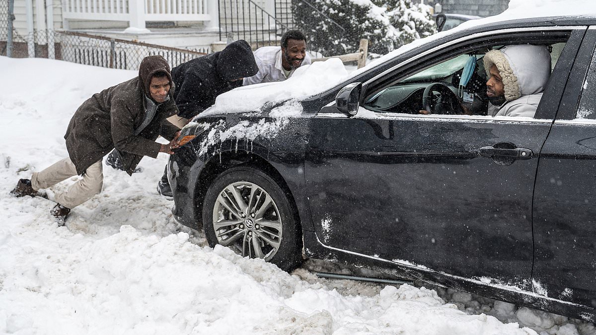
Another powerful winter storm is barreling toward 22 eastern states this week as a blast of Arctic air grips the US, causing temperatures to plummet to deadly lows.
States within the storm’s path include Arkansas, Missouri, Illinois, Kentucky, Tennessee, Michigan, Indiana, Ohio, West Virginia, North and South Carolina, Virginia, Delaware, Maryland, New York and New Jersey.
Connecticut, Rhode Island, Massachusetts, Vermont, New Hampshire and Maine are also set to be hit.
The storm will spread snow and ice across central states Monday before moving into the mid-Atlantic Wednesday. Over a foot of snow could pile up in parts of this region, meteorologists have warned.
It will be the grand-finale in a series of storms that have pummeled the nation since the start of February, with many states barely able to recover between onslaughts of heavy winter precipitation.
At the same time, the polar vortex is causing temperatures to sink dangerously low across the country, prompting the National Weather Service (NWS) to issue widespread warnings for ‘life-threatening’ cold into Tuesday.
In eastern states bracing for the mid-week storm, temperatures are expected to drop as low as -10°F with wind chills down to -40°F.
This Arctic blast brought deadly temperatures to much of the US over the weekend, killing at least 10 people, including a mother and a seven-year-old who were trapped in their car.

Yet another winter storm is heading for 20 eastern states this week as a blast of Arctic air grips the US, causing temperatures to plummet to deadly lows. Residents of Lewiston, Maine attempt to free a stuck car from a snow-covered driveway on Sunday, February 16.
Roughly 60 million Americans from Montana to Maine and as far south as Oklahoma are forecast to experience below-zero temperatures this week.
The cold will be most severe in central states such as Montana, North and South Dakota, Minnesota, Wisconsin, Nebraska, Kansas, Colorado and Iowa, parts of which are under extreme cold warnings until about 12pm CST tomorrow.
Temperatures across this region could dip as low as -45°F with -60°F wind chills during the early to middle part of the week, according to the NWS.
The agency advised against going outside unless absolutely necessary, and urged people to dress in layers including a hat, face mask and gloves as this frigid cold can cause frostbite within 10 minutes of exposure.
The freezing air will then move toward the Gulf Coast from Wednesday into Thursday, causing temperatures to dip to more than 30 degrees below average, the Washington Post reported.
These temperatures will bolster the winter storm after it moves into the East and begins spreading snow across parts of Nebraska, Kansas and northern Oklahoma into Missouri Monday night into Tuesday, according to AccuWeather senior meteorologist Joe Lundberg.
More than six inches of accumulation is expected in parts of Nebraska, Kansas, Missouri.

This week’s storm will be the grand-finale in a parade of winter storms that have battered the US since the start of February. A resident of Brattleboro, Vermont clears his driveway on Sunday, February 16.

The storm will spread snow and ice across central states today before moving into the mid-Atlantic Wednesday

Over a foot of snow could pile up in parts of the mid-Atlantic and Northeast
An area from Richmond, Virginia to Washington DC, may experience their largest snow of the winter with up to 12 inches of snow, AccuWeather meteorologist Grady Gilman said.
There is also a risk of heavier snow stretching into the Northeast, and especially New England, depending on the track of the storm, according to AccuWeather.
The current forecast predicts three to six inches as far north as Boston.
However, this could lead to much higher accumulations even farther north, including in Boston, Providence, Rhode Island and Portland, Maine if the storm takes a sharper turn up the coast on Thursday.
Residents of areas affected by heavy snowfall may be in for a grueling midweek commute.

Frigid temperatures will bolster the winter storm after it moves into the East and begins spreading snow across parts of Nebraska, Kansas and northern Oklahoma into Missouri Monday night into Tuesday

An area from Richmond, Virginia to Washington DC, may experience their largest snow of the winter thus far with a swath of six to 12 inches of snow
Parts of interstates 25, 35, 44, 55, 70 and 80 are likely to experience travel delays through the early part of the week due to snow and ice.
By Wednesday, snowfall in parts of the Interstate 95 corridor could make for particularly challenging driving conditions, according to AccuWeather Senior Meteorologist Courtney Travis said.
‘Snow arriving in the afternoon in places like Washington and Baltimore could lead to rapidly deteriorating travel conditions going into the afternoon and evening commute.’
Flights could also be delayed or cancelled at major airports such as Chicago O’Hare, St. Louis Lambert and Oklahoma City-Will Rogers.
This could cause a ripple effect across the nationwide air travel system, impacting flights departing and landing far from the storm’s impact, AccuWeather reported.

A person pushes a shopping cart through a snow-covered parking lot in Truckee, California on Thursday, February 13. Parts of this state can expect more snow this week

A car drives through the Tahoe-Donner neighborhood on Friday, February 14
Read More
Northeast braces for bomb cyclone as intense winter storm leaves 2,000 flights delayed, 500 canceled

Near the southern edge of the storm’s path, there will also be the potential for problematic icing.
Portions of southern Virginia and North Carolina, Including the cities of Raleigh and Charlotte, can expect to see icing start late in the day Wednesday and last through the night.
Up to a quarter-inch of ice could accumulate across this area, which may lead to long-lasting power outages and ‘nearly impossible’ travel conditions both by road and air, AccuWeather reported.
Fortunately, it appears this storm will mark the end of a two-week period of severe winter weather that has plagued the US since the beginning of February.
‘Following this storm, it appears most in the East will finally get a break from the unrelenting parade of winter storms,’ Travis said.
‘However, cold air is expected to linger behind this storm across the Ohio Valley and Northeast at least through next weekend.’