A powerful cold front will sweep across ‘s southeast this week, delivering biting winds, showers, and a dusting of alpine snow to multiple regions.
The system will impact major cities, including Adelaide, Melbourne, Canberra, Sydney, and Hobart, along with surrounding areas in South , Victoria, southeast New South Wales, and Tasmania.
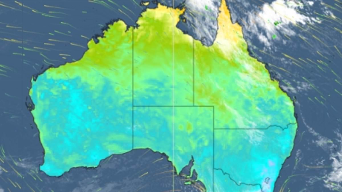
The front will move in from the west, crossing South on Monday before advancing east through Victoria, Tasmania, and southeast New South Wales by Tuesday.
The strongest winds will batter SA over the afternoon, with the capital and the Mount Lofty Ranges region most likely to receive gusts of up to 75km/h, according to Weatherzone.
As the system reaches Victoria, Melbourne and elevated regions like the Dandenong Ranges could see winds peaking at 90km/h.
Canberra and coastal areas around Sydney may experience gusts up to 80km/h, while Tasmania’s capital, Hobart, and its alpine regions brace for similar wind speeds of 85km/h.
Showers will trail the front, with most affected areas expecting light rainfall.
Coastal stretches, including parts of Wollongong, Geelong, and northwest Tasmania near Devonport, could see isolated thunderstorms, potentially bringing 20-50mm of rain.
Sydney can expect daytime highs ranging from 16C to 19C, while overnight lows dip to between 6C and 8C, with some very brisk winter mornings in store.
Melbourne is experiencing cooler conditions, with daytime highs between 13C and 15C and overnight lows dropping to as low as 6C.
Snow is forecast to fall as low as 1,200 metres in the alpine regions on Monday night, with resorts such as Thredbo and Perisher in New South Wales and Mount Buller in Victoria expected to be affected, according to the Bureau of Meteorology.
BoM meteorologist Helen Reid told Daily Mail that the cloud band associated with the front has already crossed South and is now moving over Victoria.
‘That cloud band is bringing in a couple of showers with it and then behind that we’ll have that really cold air coming through,’ she said.
‘It’s just still sitting off the coast, it hasn’t quite got into South yet either.
‘It’s looking like that change, that cool air will come through over the next couple of days,’ Ms Reid said.
Brisbane is experiencing its typical mild winter conditions this week, with daytime highs around 21C to 23C and overnight lows between 9C and 13C.
Northern Queensland, including Cairns and Townsville, will see significant rainfall from Monday, extending inland and north of Yeppoon through Tuesday before clearing by Wednesday.
In Western , a separate cold front will bring showers to Perth and the state’s southeast, including Albany, on Wednesday.
‘We’re noticing that northern Queensland is looking like it’s going to get some fairly good rain we’re watching that get really north of Yeppoon all the way up further north and inland as well,’ Ms Reid said.
‘We’re expecting that to develop today and be a bit more significant as we head into tomorrow and then cleared out by Wednesday.’
Sydney
Tuesday: Sunny. Min 8C. Max 18C.
Wednesday: Sunny. Min 8C. Max 16C.
Thursday: Mostly sunny. Min 7C. Max 17C.
Melbourne
Tuesday: Shower or two. Min 9C. Max 14C.
Wednesday: Cloudy. Min 7C. Max 14C.
Thursday: Partly cloudy. Min 6C. Max 14C.
Hobart
Tuesday: Shower or two. Min 5C. Max 13C.
Wednesday: Partly cloudy. Min 6C. Max 13C.
Thursday: Shower or two. Min 6C. Max 14C.
Adelaide
Tuesday: Shower or two. Min 10C. Max 16C.
Wednesday: Cloudy. Min 7C. Max 16C.
Thursday: Mostly sunny. Min 8C. Max 19C.
Perth
Tuesday: Showers. Min 10C. Max 21C.
Wednesday: Showers easing. Min 12C. Max 21C.
Thursday: Showers. Min 12C. Max 21C.
Darwin
Tuesday: Mostly sunny. Min 20C. Max 31C.
Wednesday: Sunny. Min 19C. Max 30C.
Thursday: Sunny. Min 20C. Max 30C.
Brisbane
Tuesday: Partly cloudy. Min 12C. Max 21C.
Wednesday: Partly cloudy. Min 13C. Max 21C.
Thursday: Mostly sunny. Min 12C. Max 23C