A vast ancient landscape, untouched for more than 34 million years, has been discovered buried beneath more than a mile of ice in East Antarctica.
The hidden terrain lies in a remote region known as Wilkes Land, a part of East Antarctica roughly the size of Belgium and located deep inland, far from the coastline.
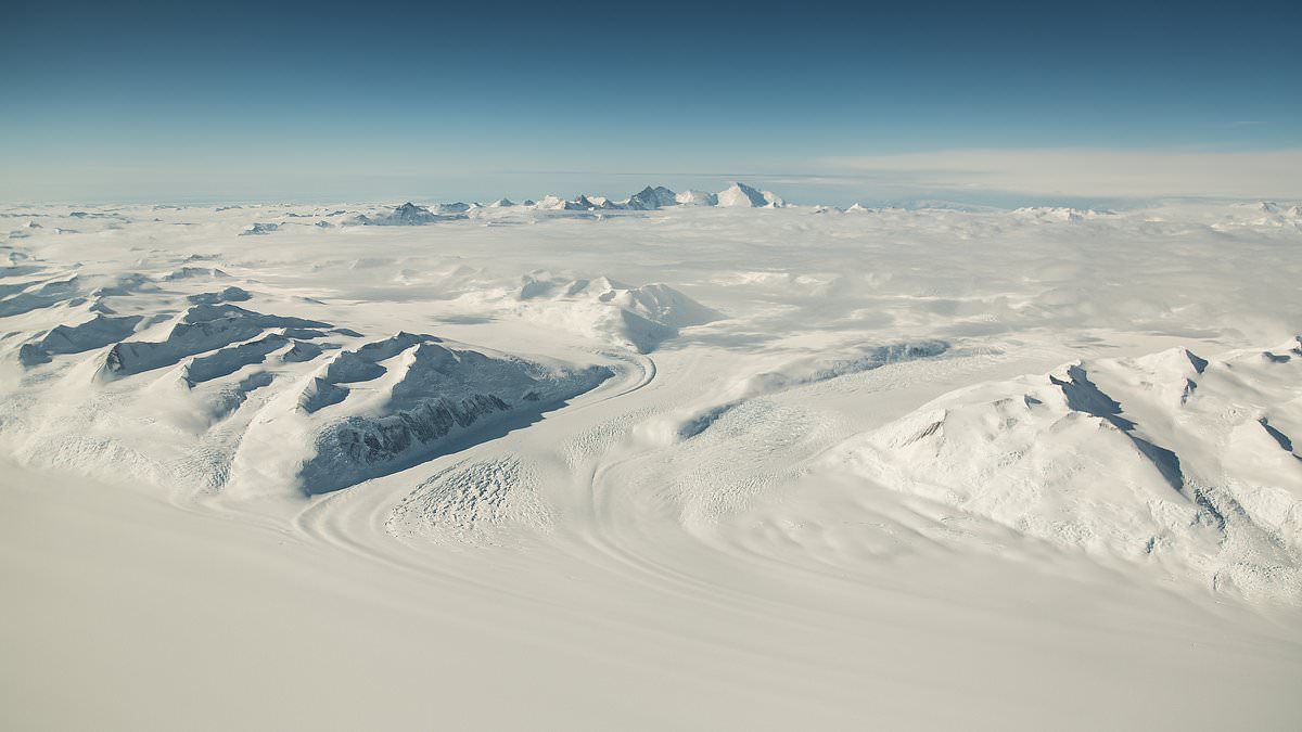
Using satellite data and ice-penetrating radar, scientists revealed that this ancient world, now sealed under ice, once featured rivers, forests, and possibly even palm trees.
In fact, pollen from palm trees has previously been found along the nearby Antarctic coast, providing striking evidence of a once-lush environment.
Researchers estimate the buried landscape spans more than 12,000 square miles, about the size of Maryland.
‘It’s like uncovering a time capsule,’ said Professor Stewart Jamieson, lead author of the study from Durham University.
Tens of millions of years ago, as the continents gradually shifted, Antarctica drifted toward the South Pole.
This movement helped form a powerful ocean current around the continent, isolating it from warmer waters. At the same time, atmospheric carbon dioxide levels dropped, cooling the planet.
Together, these changes triggered the formation of massive ice sheets, transforming Antarctica into the frozen desert we know today.

Researchers say the land was once carved by flowing rivers, shaped like the valleys and ridges we see in places like Wales or Scotland.
‘The land underneath the East Antarctic ice sheet is less well-known than the surface of Mars,’ said Stewart Jamieson, lead author of the study and a professor of geography at Durham University.
‘We’re investigating a small part of that landscape in more detail to see what it can tell us about the evolution of the landscape and the evolution of the ice sheet,’ said professor Jamieson.
Scientists have uncovered a dramatic ancient landscape buried beneath Antarctica’s thick ice sheet, revealing towering ridges and deep valleys frozen in place for millions of years.
The study identified three massive blocks of elevated ground, each measuring between 75 and 105 miles long and up to 53 miles wide, separated by valleys as wide as 25 miles and plunging nearly 3,900 feet deep.
Unlike many glaciers that grind down the terrain beneath them, the ice in this part of East Antarctica is extremely cold and slow-moving, shifting less than 16 feet per year.
This slow movement has preserved the landscape in remarkable detail. Scientists refer to this as a ‘cold-based’ ice sheet, meaning the ice is frozen to the ground and causes minimal erosion.
‘It is remarkable that this landscape, hidden in plain sight for many years, can tell us so much about the early and long-term history of the East Antarctic ice sheet,’ said Neil Ross, professor of environmental geophysics at Newcastle University and a co-author of the study.
‘It also helps us understand how it might evolve in response to future climate change.’
Researchers used satellite imagery to detect subtle surface bumps and ran computer models to trace how the landscape has shifted over time.
Some areas of the buried terrain have risen by as much as 1,600 feet, slowly pushed upward by the sheer weight of overlying ice.

Map of Antarctica showing current ice surface (a), land shape beneath the ice (b), and climate changes over time from ocean fossils (c). Black lines mark where ice sits on land; light areas are on floating shelves.
The preserved terrain offers a rare window into Antarctica’s deep past, long before ice claimed the continent.
‘What we find is an ancient land surface that has not been eroded by the ice sheet, and instead it looks like it was created by rivers before the ice came along,’ said Professor Jamieson.
Back then, the region likely featured flowing rivers and dense forests, thriving in a temperate climate.
As the ancient supercontinent Gondwana began to break apart, the shifting landmass created deep cracks and fissures, which likely split the high ground into distinct block before the first glaciers arrived.

Using satellite data and ice-penetrating radar, scientists revealed that this ancient world, now sealed under ice, once featured rivers, forests, and possibly even palm trees. In fact, pollen from palm trees has previously been found along the nearby Antarctic coast (STOCK)
Over time, the climate cooled, and small glaciers formed, gradually carving the valleys deeper and sculpting the landscape into classic U-shaped formations typical of mountain glaciation.
Read More
Truth behind popular energy drink that is 'flagged as cocaine' in drug tests

Roughly 14 million years ago, the expanding East Antarctic Ice Sheet engulfed the area in ice.
Even during later warm periods, such as the mid-Pliocene, around 3 million years ago, the region remained frozen.
Although surrounding ice may have partially melted during these warm spells, it was never enough to expose the ancient terrain.
That’s what makes this discovery so critical today, as Earth approaches carbon dioxide levels and temperatures not seen since those ice-free days.
If global warming continues, scientists caution that parts of the ice sheet could eventually retreat again, though drilling through more than a mile of solid ice to reach this lost landscape would require substantial time, effort, and investment.
‘We’ll continue exploring the landscape, doing our best to fill in gaps where surveys don’t exist,’ Professor Jamieson said, ‘and using that information to understand how the ice sheet and its underlying landscape have changed over their long history.’