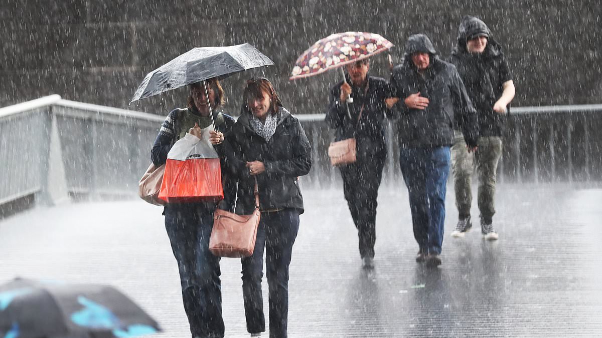
ns spending their Easter long weekend in the south-eastern states could be in for a washout as a weather system that has drenched the north starts to drift down.
The aftermath of Ex-Tropical Cyclone Megan has brought persistent rain to the Northern Territory, parts of Queensland and northeastern WA this week, with up to 100mm forecast to fall in some areas in just 48 hours from Monday.
Alice Springs recorded its wettest 72 hours in nine years, with more than 150mm falling on the capital.
Satellite images released by WeatherZone show a 7000km cloud band stretching across the country, to the east of New Zealand.
While over in Queensland, the township of Hughenden recorded their heaviest March rain in three decades.
The system is due to move south in the coming days, with forecasts suggesting it could bring significant rainfall to the southern states over the Easter long weekend starting on Friday.
The heaviest falls expected to impact western and northern NSW, northeastern SA, northern Qld and the NT.
Here’s the outlook in each state.

Parts of are set to be drenched with heavy rain (pictured) expected in some states over the Easter long weekend
NSW
Friday will be partly cloudy in Sydney with a high of 25C and a chance of showers. The weather will stay warm and mostly dry through to Sunday before more significant rain arrives on Monday.
In the far-west and north of the state, the rain is expected to hit hardest. Byron Bay is forecast to receive showers for the entire long weekend with a high of 25C.
ACT
Those heading to the nation’s capital for the weekend can expect a relatively dry few days. The mercury will soar to 27C on Saturday.
Showers are expected to arrive on Monday, bringing an estimated 10mm of rain.
Victoria
Melbourne residents can look forward to a warm and dry long weekend. A high of 30C is forecast for Saturday.
By Monday, the temperature will plummet to a high of 20C with a high chance of showers.

Victoria and the ACT are expecting a mostly dry long weekend with residents in Melbourne expecting tops of 30C on Saturday (pictured beachgoers)
Queensland
The wet weather that has been drenching the north of the country will stick around this long weekend. Showers are forecast through to Monday, with a high of 28C on Friday and Saturday.
Up north in Townsville, 15mm of rain is forecast to fall on Friday before easing to light showers for the rest of the weekend.
SA
Adelaide is in for a mostly warm and dry weekend with a high of 31C on Saturday. Showers will likely arrive on Monday.
Tasmania
Hobart is also in for a fairly dry weekend, with a high of 23C on Friday and Saturday. A slight chance of showers if forecast for Monday.

Queensland is set to cop the worst of the wet conditions with rain forecast for much of the long weekend (pictured wet weather map)
WA
Perth residents are in for a warm but cloudy long weekend. The warmest temperature is expected on Sunday with a high of 31C.
NT
Significant rainfall will continue to drench the northernmost state with up to 10mm due to fall in Darwin each day from Friday to Monday.

