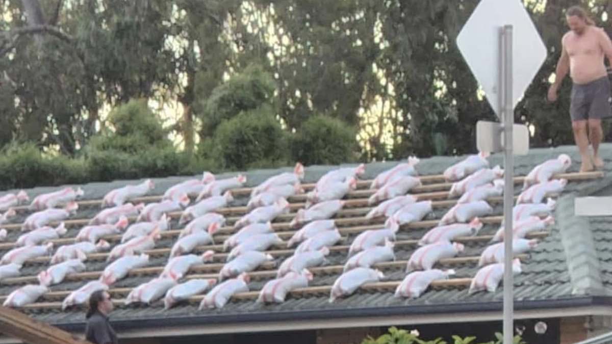
An Aussie man is facing backlash after stacking dozens of sandbags on his roof in preparation for Tropical Cyclone Alfred.
The man was pictured on the roof of his house, which is laden with sandbags, which another man on the back of a ute had been handing up to him.
About 150,000 sandbags have been collected in the past three days across south-east Queensland as locals brace for what could be the worst weather in a half century.
Comments online slammed the man, suggesting his roof might collapse from the weight or that he’ll regret the decision once the bags get wet.
‘Hate to tell him they will get heavy,’ one said.
‘His roof will collapse before (the cyclone) arrives,’ a second added.
‘Sandbags aren’t going to hold his roof down. They’re designed to take on water.
‘When the rain starts, they are going to get so heavy (and) they might warp or even break through his roof. It’s concerning,’ a fourth said.
‘The 1.5 tonne of sand on roof plus strong winds are not going to be any use to him.
‘They will just help his roof fall apart. Should use 10 bags with tarps. 100 per cent better.’
Some people applauded the man for his industriousness: ‘If it saves his roof it time well spent and money well saved.’
The comments come as a long wait for sandbags has ended in frustration after people were accused of acting like ‘vultures’.
Authorities have called for calm before the storm, with panic buying also widespread in south-east Queensland before Tropical Cyclone Alfred’s arrival.
More sandbagging sites have opened across the region as people attempt to safeguard their homes, but Morningside local Matthew Formosa still couldn’t get his fill.
He tried to get sandbags twice on Monday night but after a 40 minute wait was turned away at the 24-hour depot.
Mr Formosa returned at 5am on Tuesday hoping to beat the rush but still had to wait almost three hours to collect just eight bags.
‘There was no real order in getting the sandbags it is just like, once they have dumped there everyone is like vultures,’ he said.
Mr Formosa was told on Tuesday there was a two-hour wait as sand had run out at the depot.
He criticised the lack of support staff to help the elderly load sandbags into their cars.
‘Seeing older people carrying a bag and struggling, (there) just has to be an easier way for them to help them out,’ he said.
He was hoping to collect sandbags for his partner in Capalaba, south of Brisbane, who was worried flooding may inundate her home after a few near misses over the years.
‘We’re just trying to prevent it if it does happen, but hopefully it’ll blow away,’ he said of the cyclone.
Supermarket shelves have been stripped bare in some stores as locals brace for impact, prompting a call for calm.
Sunshine Coast Police Superintendent Craig Hawkins said there were no supply issues and no need to panic buy before the cyclone’s arrival.
‘Get what you need but be respectful of others who also need supplies to get through this,’ he told reporters on Tuesday.
The worst of Alfred’s impact once it makes landfall will hit the state’s southern flank, including Brisbane, the Gold Coast and also NSW’s Northern Rivers.
Cyclone Alfred: What you need to know
Anthony Albanese has deployed the n Defence Force, including troops and vehicles, to assist as Cyclone Alfred approaches the Queensland coastline.
‘This is a serious weather event, with heavy rain, destructive winds and major flooding expected,’ Mr Albanese said.
‘To everyone in the warning zone, please stay informed, follow advice from emergency services and take the necessary precautions to keep yourself and your family safe.’
Mr Albanese says the n Government Disaster Response Plan has been activated and a crisis coordination team and liaison officers have been deployed.
A Sikorsky s61 has been sent to Coffs Harbour and a US 60 Black Hawk will be diverted to Bundaberg over the coming days.
Meanwhile, Queensland Premier David Crisafulli has warned of widespread disruptions, urging residents to take precautions as the cyclone nears.
Schools, public transport, and elective surgeries affected in cyclone warning zone
Schools: Open today but will close on Thursday and Friday in affected areas
Public Transport: Final services run tonight, with no trains, buses or ferries operating on Thursday or Friday
Elective Surgeries: Cancelled on Thursday and Friday, but emergency medical services remain available
Boating ban and evacuation warnings issued
From midday on Wednesday, a red alert has been issued for boats, meaning no vessels may leave moorings between Double Island and Coolangatta without permission from the Brisbane Harbour Master.
‘So to be clear, all boats on moorings must not leave position between Double Island and Coolangatta from midday today,’ Mr Crisafulli said.
What you need to know before evacuations and when it will make impact
Residents in storm-tide zones must prepare an evacuation plan now, Mr Crisafulli said.
‘If you are in a storm tide zone, or you’re in an area where you know there’s riverine flooding, you really need to consider and think about your evacuation plan now.’
Those not in these zones should stay at home.
‘The best thing you can do is prepare your home,’ Mr Crisafulli said.
‘If you can fortify your home … the safest place for you will be in your home.’
He said the cyclone may make landfall at high tide overnight on Thursday.
The cyclone’s impact zone, currently stretching from Double Island Point to Grafton, will shrink as it moves closer to the coast.
What to expect from the cyclone
Matthew Collopy from the Bureau of Meteorology said damaging winds could develop late today.
‘A category two system means winds near the centre up to 95km/h, with gusts up to 130km/h,’ he said.
‘That is destructive winds and these will be concentrated around the southern side of the system.’
The cyclone could also cause a big rise in sea levels, especially early Friday morning when the tide is already high.
‘This means that as it crosses, likely near the high tide that happens in the early hours of Friday morning, we will see elevated sea levels between a half to one metre above the normal highest tides that people see,’ he said.
‘There is some modelling that indicates it may even be slightly higher than that for locations around the south bay of Redlands and the Gold Coast.’