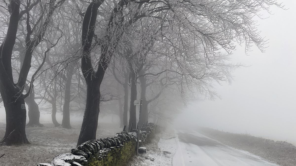
Grey skies and chilly temperatures have dominated the country’s weather for over a week, bringing frosty nights and sleet or snow showers.
But the raw, wintry conditions are set to be swept away and replaced by a more Mediterranean feel this week – in a change which is also due to bring gales and heavy rain.
Temperatures in many central and southern areas should reach double figures, with it finally feeling like spring is around the corner.
Some parts of South East England could even see figures of 15C (59F) or 16C (61F) by Thursday and Friday – slightly warmer than Rome and similar to Madrid.
It follows overnight frosts and raw days with daytime temperatures in low single figures. Snow fell as far south as East Anglia at the weekend.
A further belt of rain, sleet and snow was due to affect Northern Ireland and Scotland last night, with up to 8ins (20cms) on high ground and two inches (5cm) at lower levels.
The mild and wet air is due to arrive from the west tomorrow – with up to four inches of rain (10cm) on some western hills.
Into the coming weekend, sunny spells and blustery showers are forecast, with gales in some coastal areas.
Met Office Deputy Chief Meteorologist, Tony Wisson, said: ‘Milder but unsettled conditions are moving in from the Atlantic later this week.
‘As the week goes on, we’re set to experience wetter conditions with showers and bands of rain moving in from the Atlantic. Western hills will see the highest rainfall totals, with 75-100mm possible here, building up from Wednesday to Friday.
‘There will be brighter and sunnier spells in between bands of rain. With temperatures possibly as high as 16°C on Thursday and Friday, it will feel much more spring-like than of late.’
Much of the UK has seen ‘anticyclonic gloom’ over the past week, with an area of high pressure and still air trapping cloud over Britain.
It led to dull skies, with some areas not having seen the sun in more than a week.
Predicted maximum temperatures in the coming days are well above February’s average of 9C (48F) in southern England, in a ‘noticeable shift’ compared with the last fortnight which was below average, Met Office meteorologist Jonathan Vautrey said.
The prolonged cool conditions saw some areas go ten days without sunshine in a near record for the UK.
London’s record for most days without sunshine was when the capital went 13 days in the cloud in 1959.
Forecasters calculated on Friday confirmed that London had gone seven days with zero sunshine for the first time since 1979.